Purpose: This Web site provides access to up-to-date velocity field maps and station coordinate time series for Minnesota's real-time GPS network, which is a network of continuous GPS stations installed and operated mostly by the Minnesota Department of Transportation. The station time series and accompanying maps are updated daily and produced at the Department of Geosciences of the University of Wisconsin-Madison. Further information about the raw GPS data analysis and results posted at this Web site is found below.
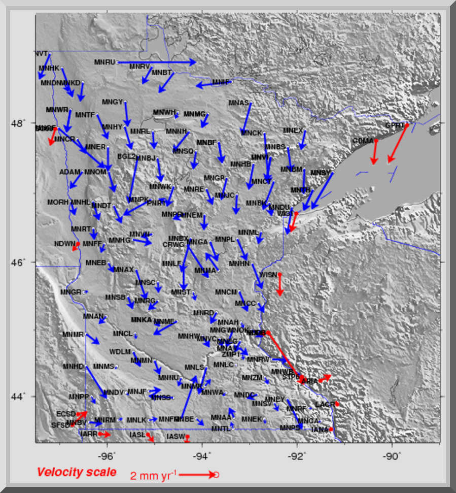
Applications: Although the primary applications of the network are in the commercial sector, including construction, surveying, and transportation, the data are also useful for a variety of practical and scientific purposes. For example, GPS can be used to study the movements of the tectonic plates and the slow rebound of interior areas of North America in response to melting of the thick ice sheet that loaded much of North America during the last ice age.
GPS is also sensitive enough to identify places where ground subsidence may be occurring in response to over-pumping of groundwater. Such subsidence can cause cracks in buildings and important infrastructure such as roads and bridges and may be a sign of unsustainable use of valuable groundwater resources. All of these applications require a high level of precision and thus a more involved process for processing and using the Minnesota data.
Information: At 1 AM each day, an automated GPS data processing routine designed and written by Professor Chuck DeMets of the UW-Madison Department of Geoscience retrieves the Minnesota GPS data files from assorted archives including the National CORS archive. Along with data from more than 3000 other continuous GPS stations scattered around the world, the Minnesota GPS data are processed at Madison with state-of-the-art GIPSY analysis software from the NASA Jet Propulsion Laboratory. The processing yields a very precise estimate of the daily position and elevation for each station, typically accurate to within 3 millimeters in the north and east directions and 6 millimeters in the vertical. Following the raw processing, additional procedures are used to estimate and correct for noise. These further improve the precision in the estimated station location to 1-2 millimeters in the north and east and 5 millimeters in the vertical. These optimized daily station locations are then used to determine best estimates of the motions of the Minnesota sites and other sites, examples of which are provided through the options menu at the left. Up to date results are generated and saved each day for all 3000+ stations.

 Contact: Professor Chuck DeMets: chuck@geology.wisc.edu