- Nicolaj Larsen - U. of Lund
- Kurt Kjaer - U. of Copenhagen
- Marc Caffee - Purdue U.
GRADUATE STUDENTS
- Kelsey Winsor
- Dave Ullman
| DEGACIATION OF SOUTHWEST GREENLAND | |||||||
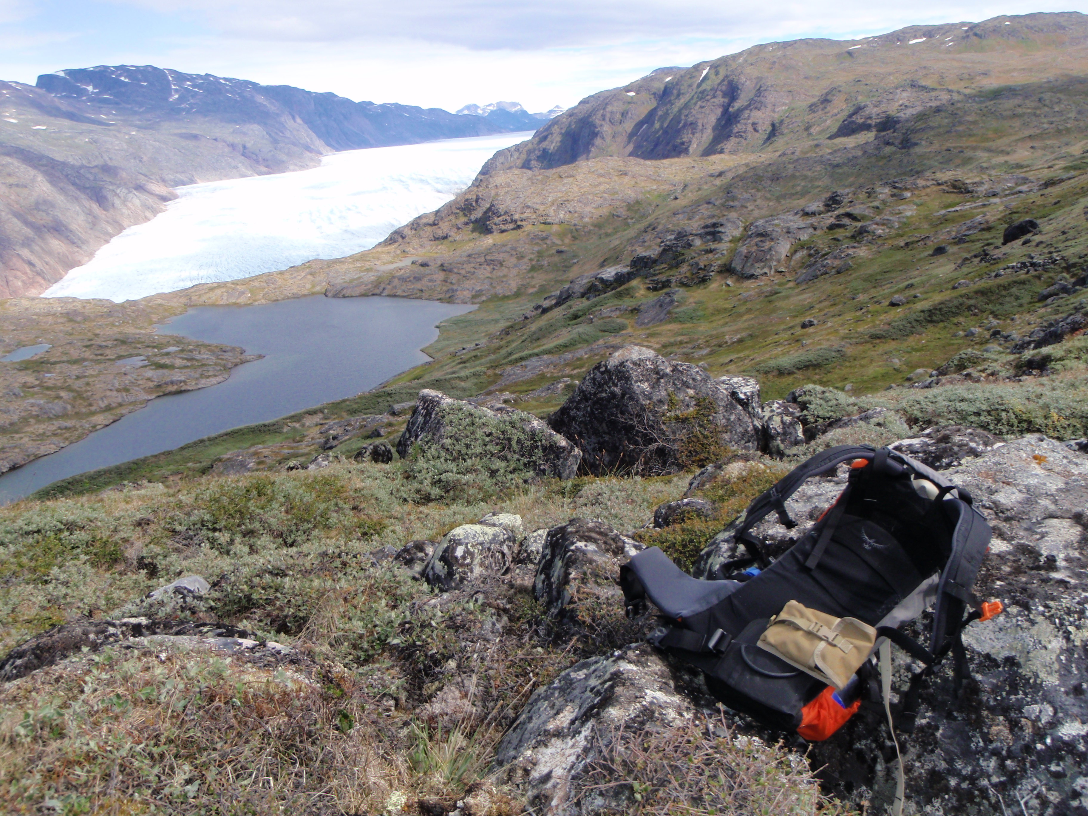
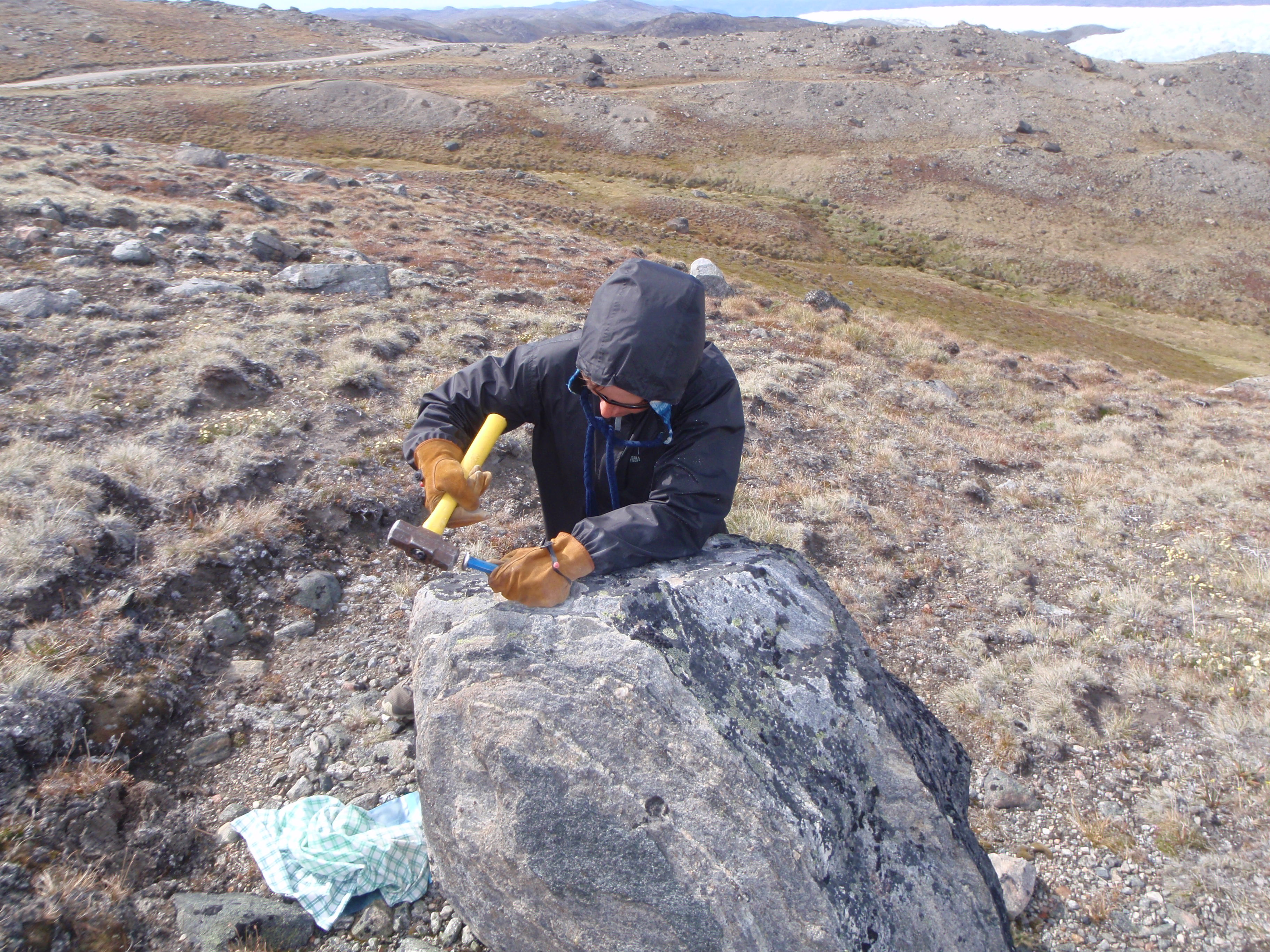
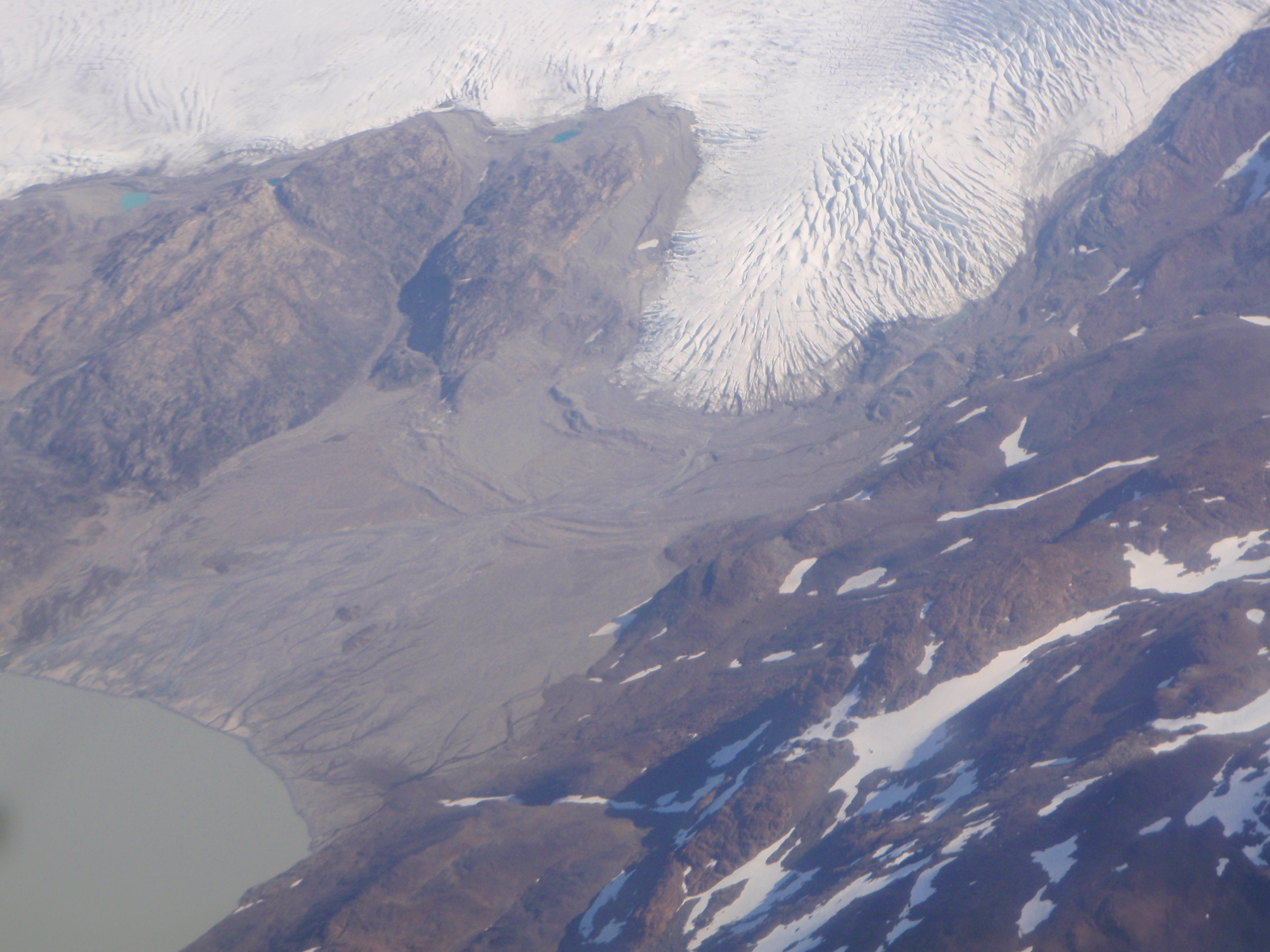
| The response of ice sheets to global warming is the largest uncertainty in predictions of future sea level rise. Of great concern is the Greenland Ice Sheet (GIS), which, if it melted entirely, would raise sea level ~7 m. We are investigating the response of the southwestern GIS to the last major period of climate warming, the last deglaciation ~21-7 ka, providing a better understanding of the GIS sensitivity to a warming climate. Specifically, we are dating the onset of deglaciation and when the GIS retreated to its present extent using surface exposure ages on boulders, which determine how long a boulder has been exposed to cosmic radiation since ice retreat. Samples are from three transects in southwestern Greenland. Coastal dates from peaks will date the onset of GIS thinning and determine the sensitivity of the southwestern GIS to initial climate warming during the last deglaciation. Dates adjacent to the present GIS margin will determine what climate conditions forced the GIS to retreat to a smaller than present extent. | |||||||
|
|
||||||
|
|||||||
COLLABORATORS
GRADUATE STUDENTS
|
|||||||